Canadian Transit & Weather Updates – November 13, 2024

a large bridge over a large body of water

BRITISH COLUMBIA

Highway 3 – Paulson Summit to Kootenay Pass under Winter Storm Warning.  ECC has advised – “A Pacific frontal system is forecast to impact the Highway 3 – Paulson Summit to Kootenay Pass beginning this morning till Thursday night. Snowfall accumulation of 30 – 50 cm is expected.” Slippery driving conditions can be expected as well as reduced visibility.

Heavy Rain expected for Northern sections of Metro Vancouver including West Vancouver, North Vancouver, Coquitlam and Pitt Meadows, Howe Sound.  50-90mm expected, risk of washouts, rockfall, landslide and pooling water.

https://www.theweathernetwork.com/en/news/weather/forecasts/disruptions-impact-b-c-as-winds-ease-and-rain-snow-move-in

NEWFOUNDLAND / LABRADOR

Rainfall Warning continues for Avalon Peninsula.  90-120mm possible into Thursday night, localized flooding possible.

Wind Warning in effect for southern parts of the province with wind speeds up to 100lm/hr possible.

https://www.theweathernetwork.com/en/news/weather/forecasts/slog-of-wintry-precipitation-gusty-winds-batter-parts-of-atlantic

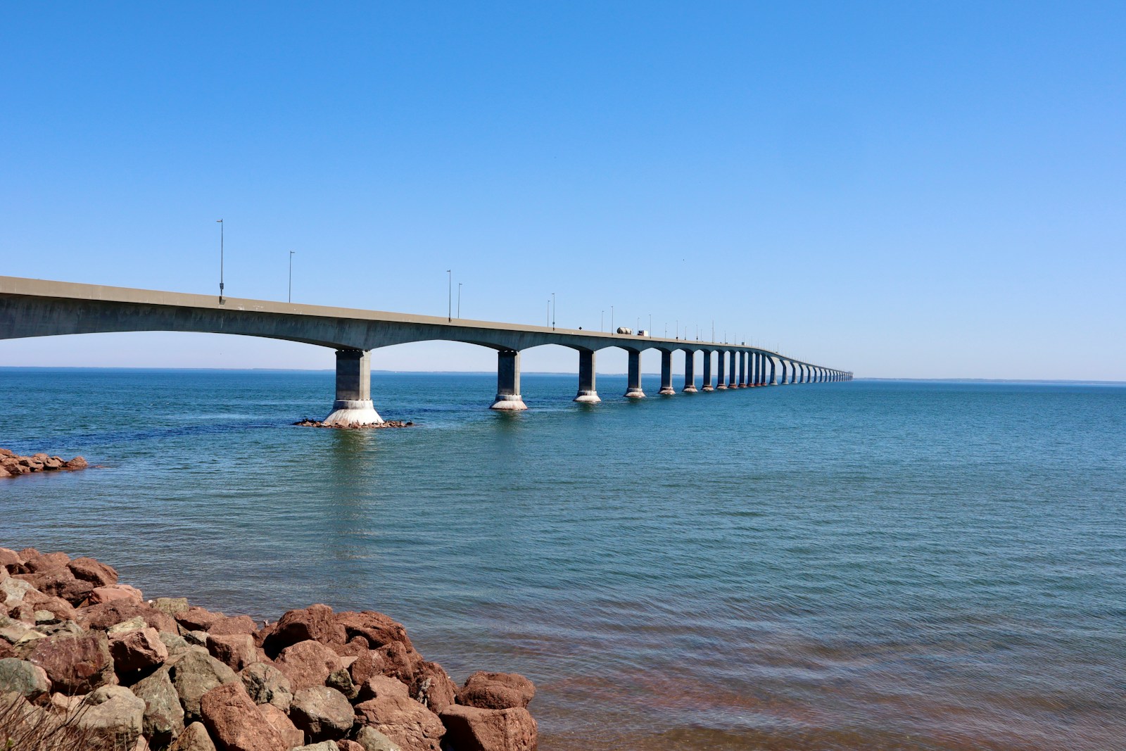
CONFEDERATION BRIDGE

Traffic restrictions in place due to high winds.  Restricted classes include automobiles towing trailers, motorcycles, highsided vehicles including trucks, tractor trailers, recreational vehicles, and buses.