
BRITISH COLUMBIA
Environment Canada has issued the below warnings:
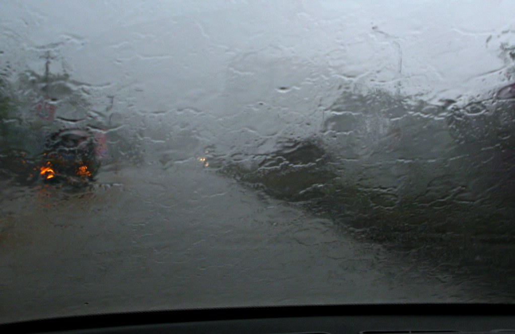
Prolonged rain and gusty winds this weekend for Coquihalla Highway – Hope to Merritt – A strong fall storm system will direct an atmospheric river towards the South Coast. Storm totals are forecast to reach 30 to 60 mm while localized totals of 200+ mm are possible along western and inland portions of Vancouver Island.
Widespread snowfall totals of 5 to 15 cm with up to 20 cm over White Pass – Windy conditions later today may result drifting snow to further reduce the visibility. Yukon’s first substantial snow is underway. Total snowfall accumulations will range from 5 to 15 cm for most areas with amounts possibly reaching 20 cm over White Pass.